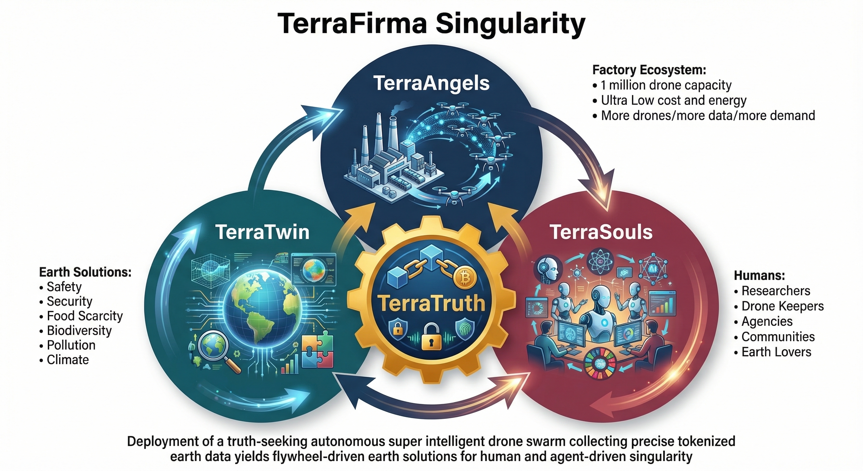
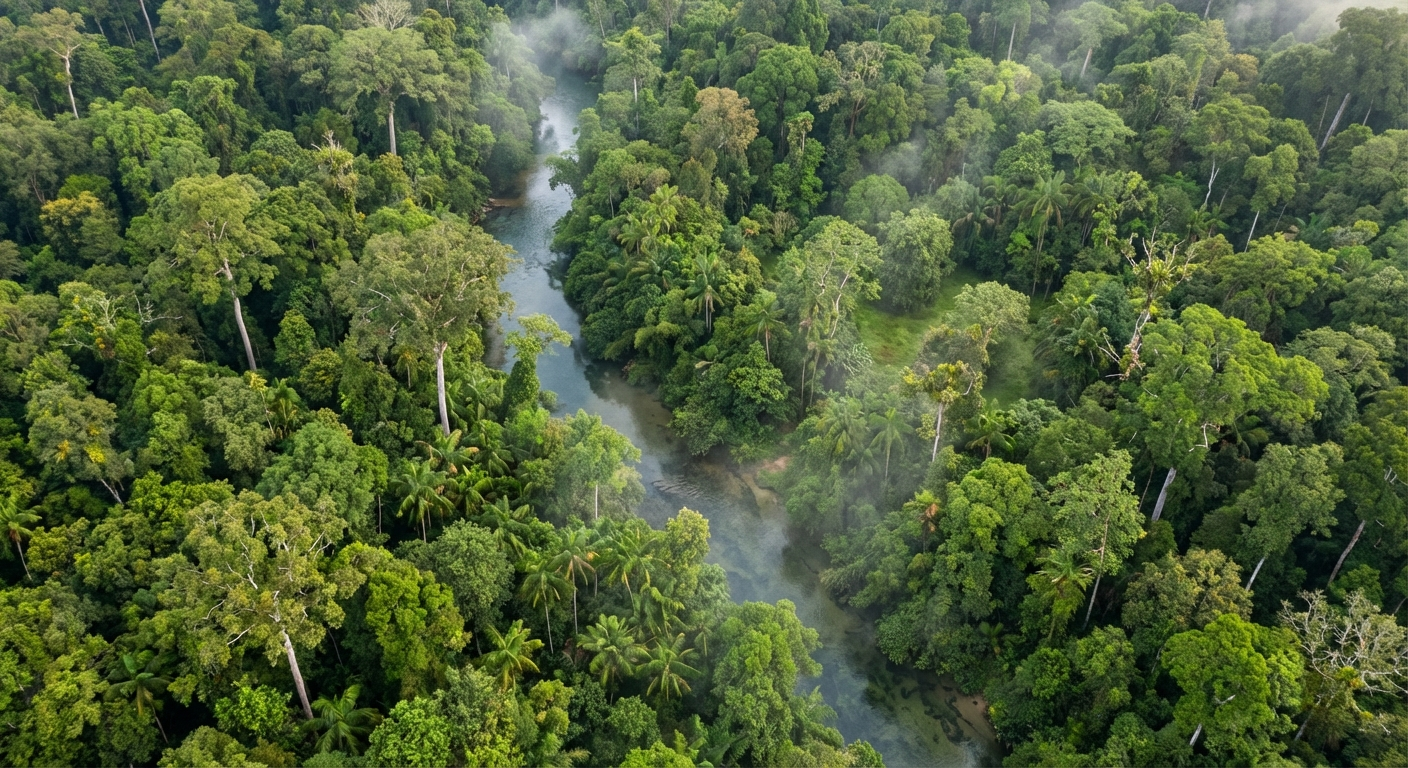
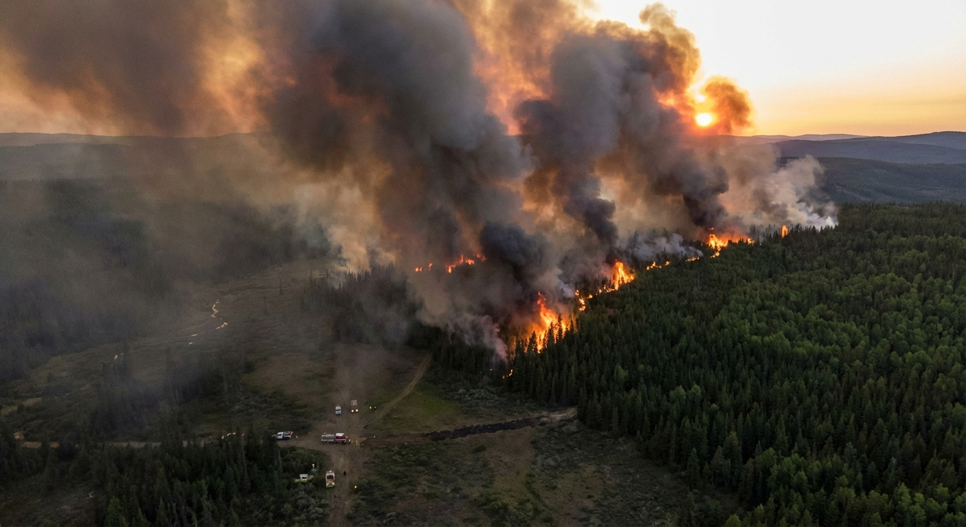
Autonomous Intelligence for Planetary-Scale Earth Science
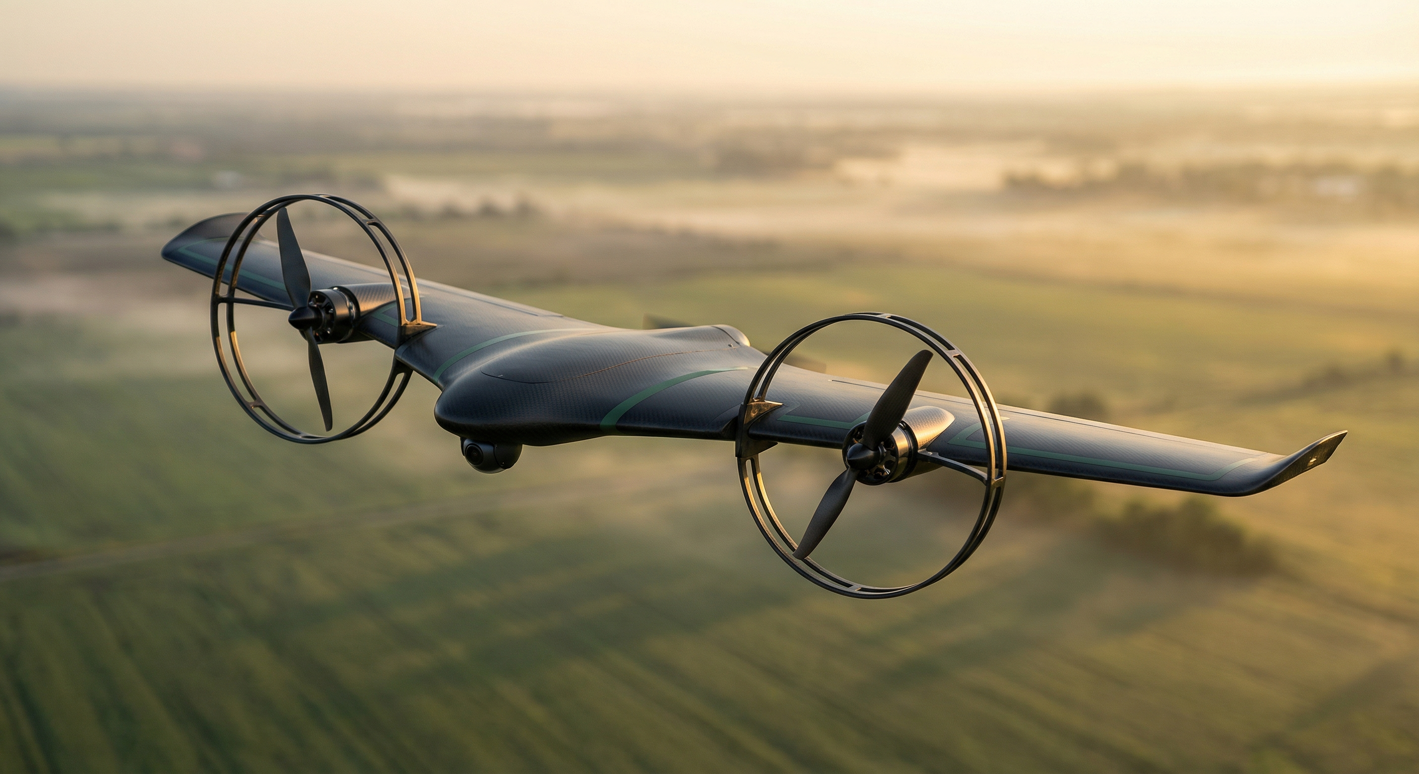
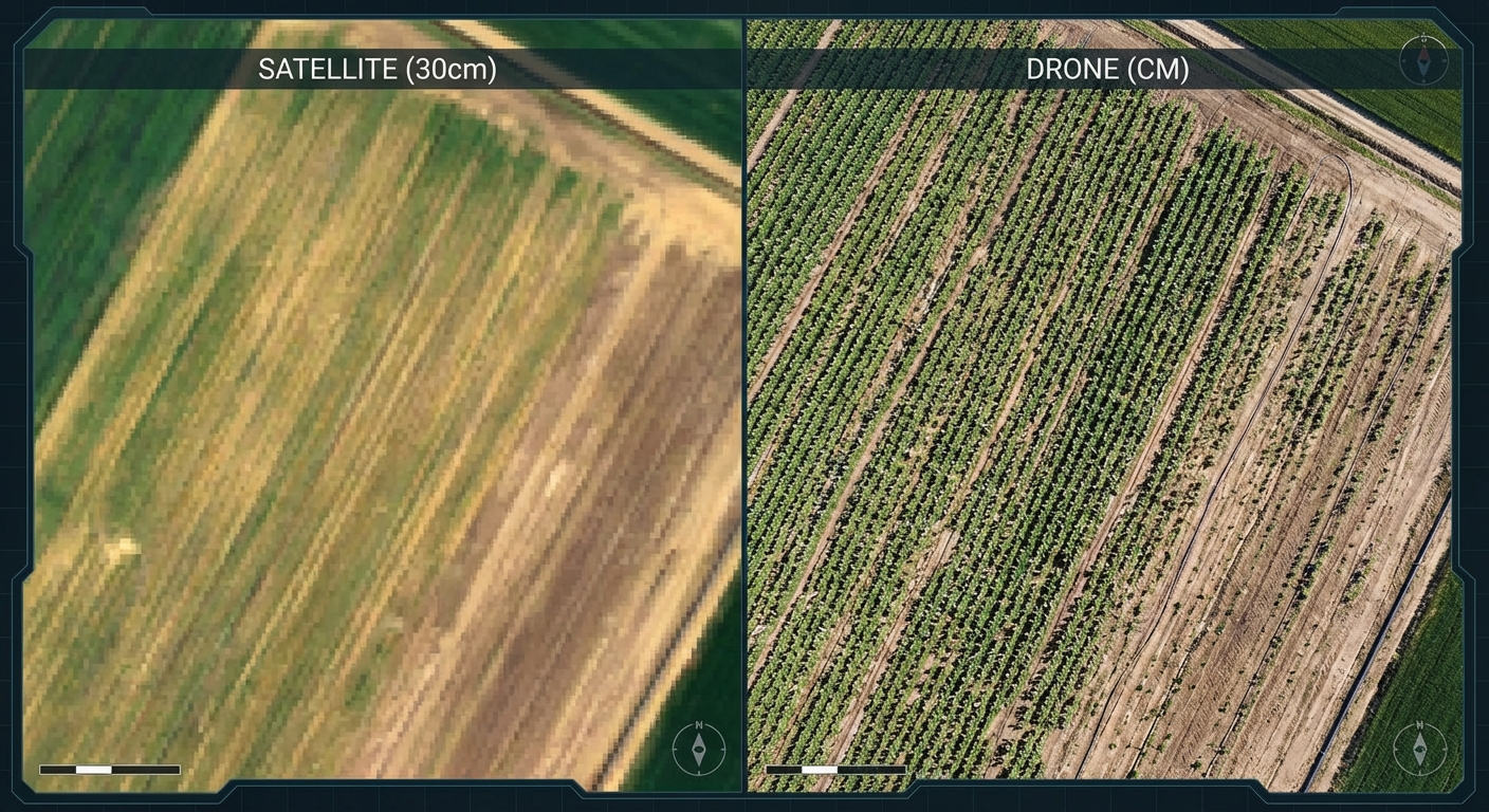
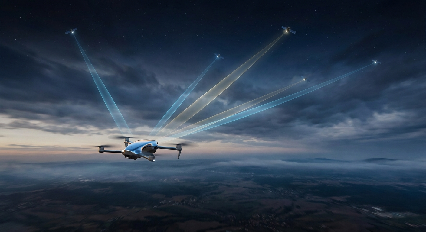
TerraFirma Robotics develops next-generation autonomous drones that deliver 100× satellite resolution with standalone connectivity for industrial-grade earth science data collection.
Start Your Mission
Revolutionary technology that transforms how earth science data is collected and processed at scale
Ultra-high resolution imaging that delivers 100 times the detail of traditional satellite data for precise ground-truth intelligence.
Direct satellite uplink capability ensures data transmission from the most remote locations without infrastructure dependencies.
Edge AI processing with intelligent data tokenization reduces bandwidth requirements while maintaining analytical precision.
NVIDIA Jetson Orin Nano Super processes real-time computer vision, object detection, and autonomous navigation on-device at 67 TOPS — no cloud required.
Three pillars driving the convergence of autonomous earth intelligence
Autonomous drone fleet delivering tokenized earth science data with verifiable provenance and quality assurance.
Photorealistic digital twin platform providing validated data and predictive intelligence for decision support.
Global community platform democratizing access to earth intelligence for sustainable environmental stewardship.
The singularity flywheel: Each mission generates data that improves the digital twin, which enhances community insights, which drives demand for more missions—creating exponential value growth.
Strategic moats that establish lasting competitive differentiation
Growing dataset from every mission flight with verified ground-truth labels, creating exponentially valuable training data that competitors cannot replicate.
Domain-specific vision language models trained on earth science data, delivering specialized intelligence beyond generic computer vision platforms.
Advanced photorealistic modeling infrastructure providing validated simulation and predictive capabilities at planetary scale.
NDAA compliant, Blue UAS eligible manufacturing in Santa Maria, CA, positioning for government contracts and secure supply chains.
High-value markets ready for autonomous earth intelligence solutions
Crop monitoring, yield prediction, and soil health analysis with centimeter-level accuracy for optimized agricultural operations.
Oil & gas infrastructure monitoring, mining operations oversight, and critical infrastructure assessment with precision analysis.
Biodiversity assessment and ecosystem health monitoring for conservation and environmental management.
Real-time fire detection and prevention with autonomous deployment capabilities for early warning systems.
Transform your earth science operations with next-generation autonomous drone technology
Contact Our Team