Technical Architecture & Platform Specifications

Deep dive into our autonomous drone platform's technical implementation: hardware specifications, data pipeline architecture, edge AI processing capabilities, and satellite communication systems.

TerraFirma Autonomous Drone Technology

Technical Specifications

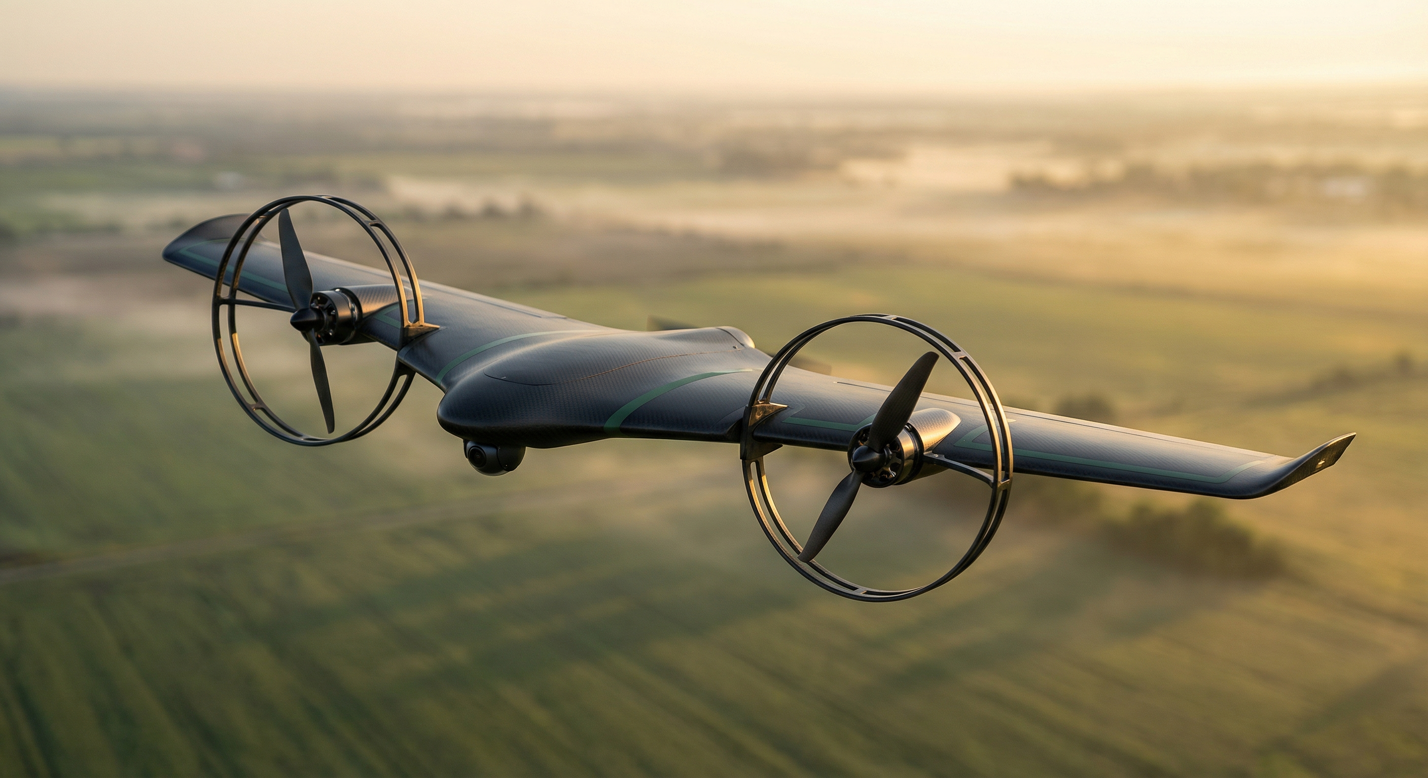
Industrial-grade autonomous platform engineered for demanding earth science operations

W
666mm
Wingspan
Optimized aerodynamic design for stable flight in varied conditions
M
Sub-250g
All-Up Weight
Part 107 exempt operation with maximum payload efficiency
H
47min
Hover Time
Extended hovering capability for detailed area mapping
F
190min
Cruise Time
Long-range mission capability for large area coverage
R
110km
Range
Extended operational range with autonomous return capability
100X
100×
Resolution
Ultra-high resolution imaging beyond satellite capabilities
P
APC 9×4.7"
Propellers
High-efficiency tractor configuration for optimal performance
SAT
Standalone
Connectivity
Direct satellite uplink for remote area operations

NVIDIA AI Ecosystem

Enterprise-grade AI infrastructure powering autonomous earth intelligence

Edge Compute

NVIDIA Jetson Orin Nano Super 67 TOPS AI performance
Memory Bandwidth 102 GB/s
Memory 4-8GB LPDDR5
Power Envelope 15W
Frameworks CUDA, cuDNN, TensorRT

Perception Pipeline

Framework Isaac ROS + NITROS
Architecture ROS2-native perception
Computer Vision Hardware-accelerated
Odometry cuVSLAM visual-inertial
Camera System 3 cameras (~32g total)
VIO Cameras 2× fisheye stereo
Survey Camera 1× nadir with autofocus + LED

AI Training Pipeline

Transfer Learning NVIDIA TAO Toolkit
Quantization PTQ: FP32 → FP16 → INT8
Target Models YOLOv8-based detection
Training Data VisDrone, KITTI (8.6K images)
Cloud Training Azure/NVIDIA Inception credits
Dev Hardware ~$1,950 cloud infrastructure

Digital Twin

Platform NVIDIA Omniverse Cloud
Rendering Photorealistic 3D Digital Twin
Data Visualization Real-time earth data
Simulation Physics-based modeling
Learning Federated across drone fleet

Flight Control

Autopilot PX4 on STM32 companion MCU
Integration ROS2 with Isaac ROS
Navigation Autonomous BVLOS

Simulation & Synthetic Data

Platform NVIDIA Isaac Sim
Environment Photorealistic synthetic training
Physics Sensor-accurate simulation
Data Generation Synthetic dataset creation
Domain Randomization Infinite training scenarios
Sim-to-Real Transfer Validated model deployment

Intelligent Data Pipeline

Seamless data flow from field collection to actionable intelligence

D
Drone
Autonomous collection with 100× satellite resolution
AI
Edge AI
On-device processing and intelligent tokenization
SAT
Satellite
Standalone uplink from remote locations
C
Cloud
Scalable processing and data integration
ET
Digital Earth Twin
Planetary-scale intelligence models

Multimodal Satellite-Drone Inference

Our platform fuses satellite imagery with drone-collected ground truth in a closed-loop system. Satellites detect macro-scale changes; drones verify ground truth at centimeter resolution. Every observation improves the next.

Bayesian Data Reconciliation

Statistical framework that fuses multi-resolution data sources. Satellite imagery at 3-30m resolution is reconciled with drone observations at sub-centimeter resolution using Bayesian hierarchical modeling. Coarse satellite data borrows strength from fine drone ground truth to predict high-resolution information across continental scales.

Multi-Constellation Satellite Ingestion

Sentinel-2 (10m, 5-day revisit), Planet Labs (3m, daily), Landsat (30m, 16-day), MODIS (250m, daily). All ingested into Databricks with Unity Catalog for unified governance. Cross-constellation spectral fusion combines Sentinel-2's 13 spectral bands with Planet's temporal density.

Edge AI Fusion on Jetson

Satellite-derived priors (vegetation indices, change maps, historical baselines) are compressed and delivered to drones via NTN satellite link. The Jetson Orin Nano Super fuses these priors with live sensor feeds (RGB, multispectral, soil probes) using on-device multimodal inference — no cloud dependency in the field.

Self-Improving Feedback Loop

Every drone observation is tokenized and returned to enrich satellite baselines. The system continuously improves: more drone flights → better satellite interpretation → smarter drone missions → higher accuracy. This is the data flywheel that makes our Digital Earth Twin increasingly valuable over time.

Ready to Deploy Advanced Technology?

Discover how our autonomous drone platform can transform your earth science operations

Request Technical Consultation